Getting to Oklahoma City: Routes, Entry Points, and What to Expect on Arrival
Most travelers reach Oklahoma City by car, plane, or bus. This guide covers the main entry corridors, what you'll encounter at each gateway, and how to navigate the first miles into the city proper so you can move directly to lodging or attractions without confusion about direction or geography.
Air Travel: Will Rogers World Airport
Will Rogers World Airport, located 6 miles southwest of downtown Oklahoma City, handles the majority of visitor traffic. The airport code is OKC. Three airlines operate hub or significant service: Southwest, American, and United. A fourth carrier, Delta, offers regional connections but fewer daily frequencies.
From the terminal, ground transportation options split by budget and convenience. The airport's ride-share zone (Uber, Lyft) charges no airport fee and typically costs $15 to $22 to downtown Oklahoma City, depending on surge pricing and destination within the city. Taxis operate from a dedicated stand outside baggage claim; the metered rate to downtown runs roughly $25 to $30. Rental car counters occupy the lower level, and the drive from airport to downtown takes 15 to 20 minutes under normal traffic.
Public transit exists but requires planning. The Embark transit system runs bus Route 631 from the airport to downtown and the Midtown district, with a fare of $1.25 per ride, but service runs hourly during the day and less frequently after 6 p.m. A hotel shuttle may also be available depending on your lodging choice; ask during booking.
Interstate Access: I-35 and I-44
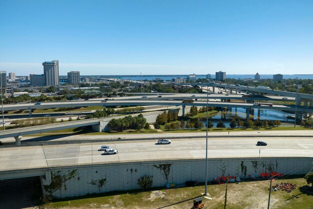
Oklahoma City's position at the intersection of two major interstates makes it a natural stop for cross-country road trips. I-35 runs north-south through the city, connecting Dallas (202 miles south) to Kansas City (360 miles north). I-44 enters from the northeast, linking to Tulsa (105 miles) and St. Louis (540 miles).
Both highways pass through or very near downtown. I-35 splits the city's west side; I-44 curves around the northeast. Neither corridor offers a bypass route, so traffic through Oklahoma City is heaviest during rush hours (7 to 9 a.m. and 4 to 6 p.m.). If you're passing through rather than stopping, expect a 20 to 30-minute delay during these windows. Off-peak travel clears the interstates in 10 to 15 minutes.
Lodging near the interstate corridors tends to be cheaper than downtown options. Chain hotels cluster along I-44 near the airport and along I-35 as it approaches the city center, with nightly rates typically $60 to $90 compared to $110 to $160 downtown. The trade-off is noise and distance from cultural districts like Bricktown or the Film District.
Highway Entry: US-77, US-81, and Oklahoma State Routes
Secondary highways funnel traffic into Oklahoma City from surrounding rural areas. US-77 approaches from the north; US-81 enters from the northwest; US-270 serves the south. These routes are gentler than the interstates and pass through the city's immediate periphery, offering views of the neighborhoods before you reach dense development.
If you're not on an interstate schedule, these roads can be useful for avoiding highway congestion. Driving US-77 from Pauls Valley (45 miles south) into Oklahoma City takes about 50 minutes and costs less in fuel than the I-35 detour, though the route is slower.
Long-Distance Bus Service
Greyhound operates a station at 427 West Sheridan Avenue in Midtown, north of downtown. Service to Dallas runs four to five times daily and takes 3.5 hours; service to Tulsa also runs multiple daily trips and takes 2 to 2.5 hours. Fares are often $15 to $40 one-way during off-peak booking, compared to $20 to $50 for gasoline and parking on the same routes. The Midtown location sits within walking distance of several budget and mid-range hotels, though the neighborhood has higher street activity than downtown after dark.
Navigation Once Inside the City
Oklahoma City's street grid aligns to cardinal directions (north, south, east, west), making navigation logical once you understand the baseline. The city center sits roughly at the intersection of Broadway and Main Street. Most downtown lodging and attractions lie within a 2-mile radius of this point.
Numbered streets run east-west; named streets run north-south. This consistency means a GPS destination address is usually sufficient, but paper maps or offline mapping apps (Google Maps downloaded for offline use) prevent problems if cellular service drops in the occasional dead zone near older neighborhoods.
Parking availability differs sharply by district. Bricktown (the restored warehouse district south of downtown) charges $5 to $8 per hour at surface lots and $10 to $12 in garages. Downtown proper offers cheaper options, with metered street parking at $1 to $2 per hour and a few public garages at $5 per day if you arrive before 11 a.m. The Plaza District (Paseo arts area northwest of downtown) has free surface parking within two blocks of galleries and restaurants.
Regional Driving Distances and Times
Dallas: 202 miles, 3 hours 15 minutes via I-35 South
Tulsa: 105 miles, 1 hour 45 minutes via I-44 East
Kansas City: 360 miles, 5 hours 30 minutes via I-35 North
Wichita: 159 miles, 2 hours 35 minutes via US-81 North
Little Rock: 320 miles, 4 hours 50 minutes via US-69 South and I-40 East
These routes confirm that Oklahoma City functions as a hub. Visitors often treat it as a one or two-night stop between longer destinations rather than a week-long base, which affects lodging demand and availability.
Practical Takeaway for Arrival
If you're driving, allow an extra 20 minutes to navigate from your exit to your hotel if you're arriving during rush hours. If you're flying, ride-share is faster and cheaper than rental if you plan to stay downtown or Midtown; a rental car makes sense only if you're spending multiple days and driving to outlying attractions like the Oklahoma City National Memorial & Museum or the Philbrook Museum in Tulsa. Bus travel is economical but most useful if your schedule aligns with published routes. Mark your lodging address in offline maps before arrival; the city's cell service is reliable downtown but less consistent in older neighborhoods west of I-35.